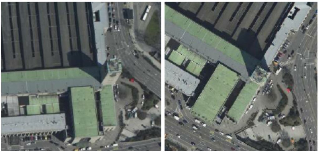
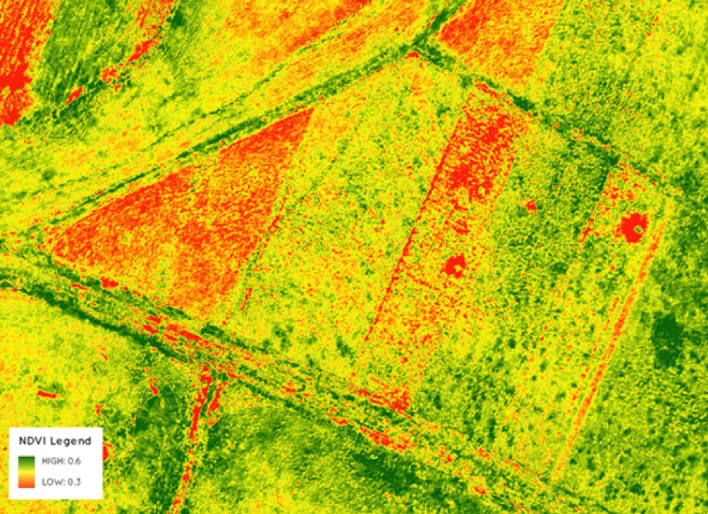
Orthoimagery has an extremely broad range of applications, particularly when collected with state-of-the-art digital systems. Our large format camera collects high-resolution panchromatic, R, G, B and NIR information at 450 Megapixels. We also fuse orthoimagery with lidar data to extend visual interpretation and spatial analysis to the end user. Overall, through the use of aerial photogrammetry and aerial photography, we provide reliable geospatial analysis to our clients using advanced orthoimagery.