Kîsik has experience with emergency projects involving wide area flooding and landslides.
We have the ability to dispatch at a moment’s notice to support any emergency that may require detailed imagery or LiDAR acquisition. Our in-house team will quickly analyze the data to provide you with immediate answers. Kîsik uses advanced and cutting-edge technology allow us to Capture complex topography quickly and generate accurate data for hydrological modelling.
Typical Use Cases
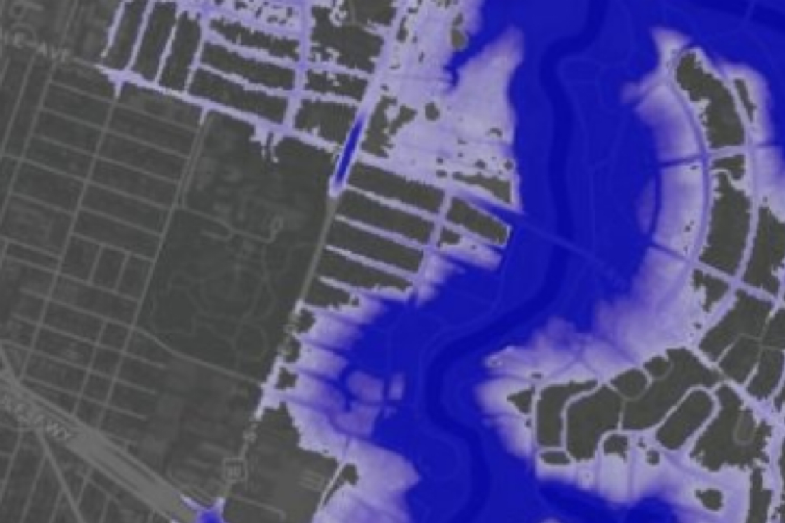
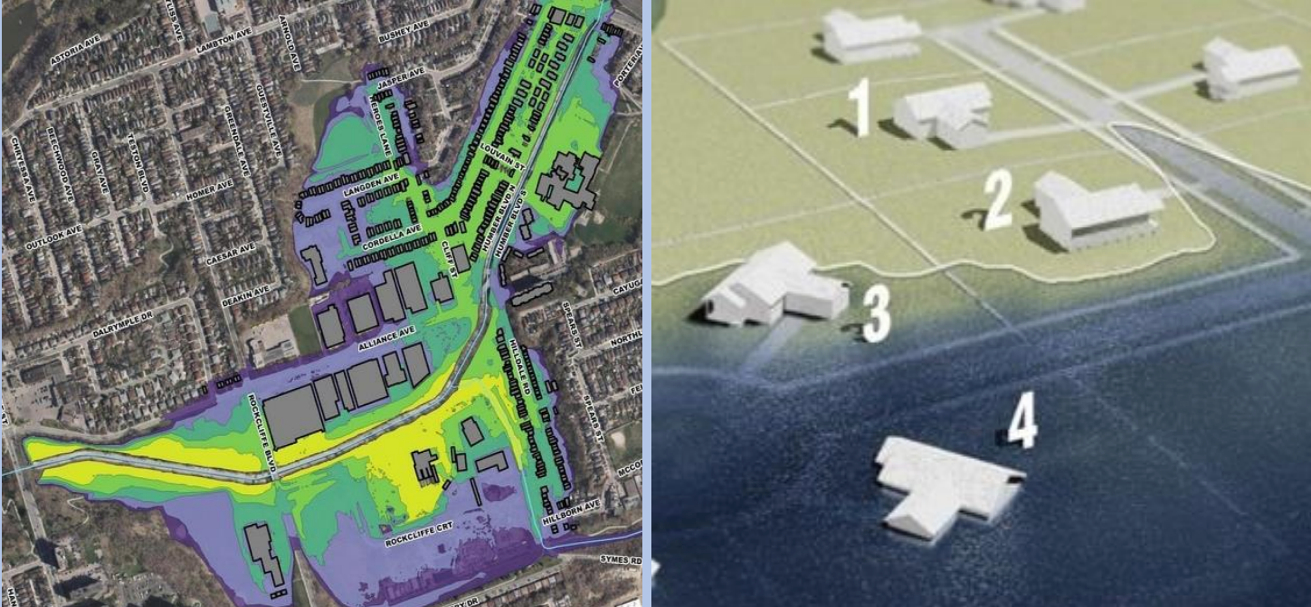
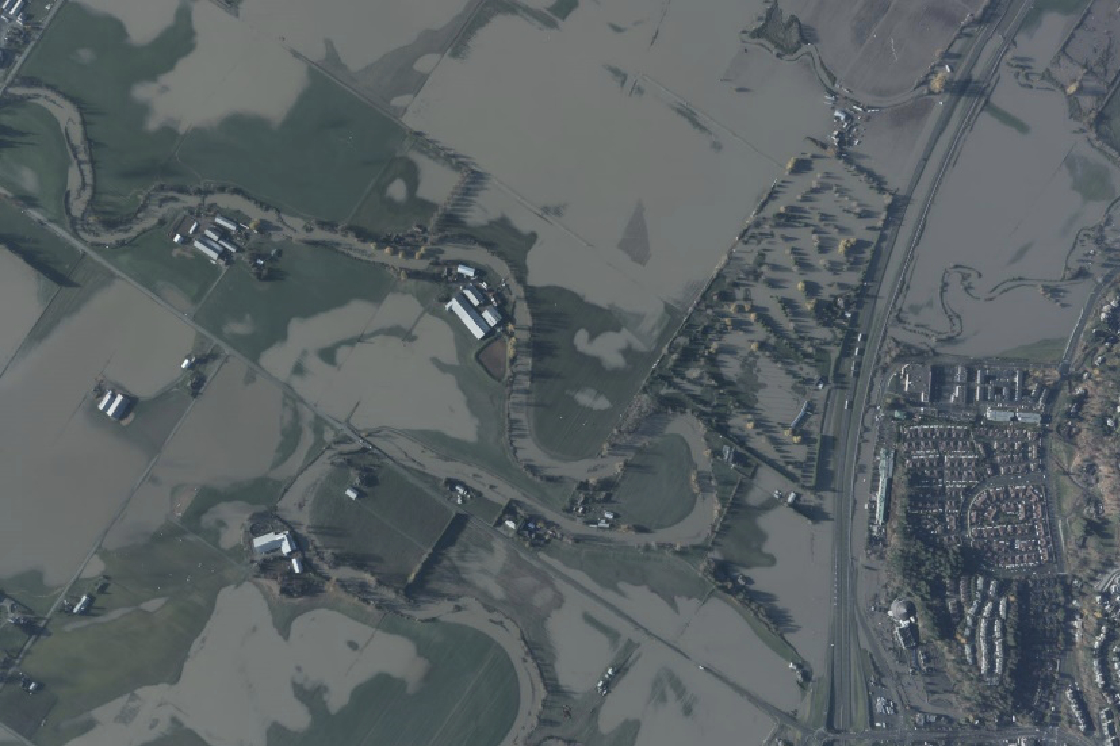
Flooding Analysis
LiDAR can be used to create high-resolution floodplain maps by measuring the elevation of the terrain and the location of water bodies, which helps to identify areas that are prone to flooding and assess the potential impact of flooding.
Rapid Emergency Response
We are able to dispatch our aircraft and sensors at a moment’s notice.
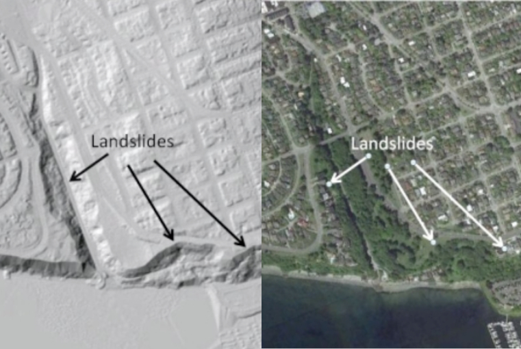
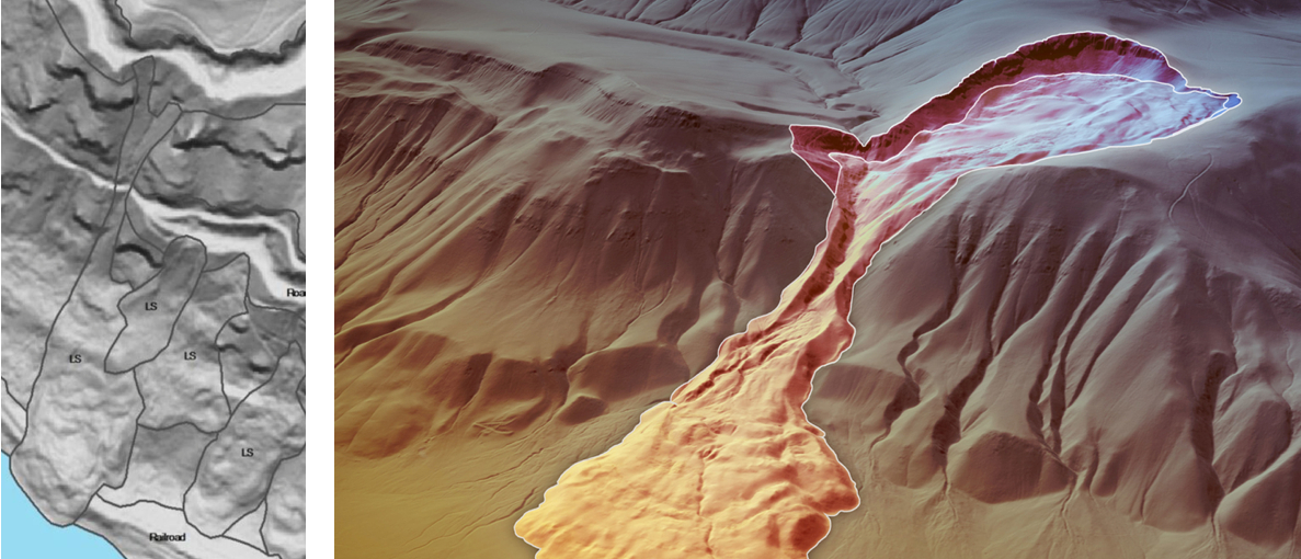
Geologic Hazards
Utilize geospatial analytics to detect geologic hazards, including landslides and fault lines.