Edit Content

Geospatial Solutions for our changing world
- 4340 King St. - Unit #3
- 1-604-821-9915
- [email protected]
- 1-888-749-7746

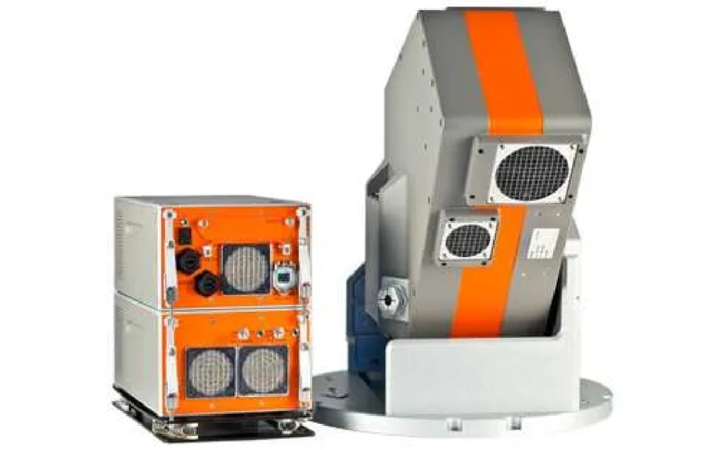
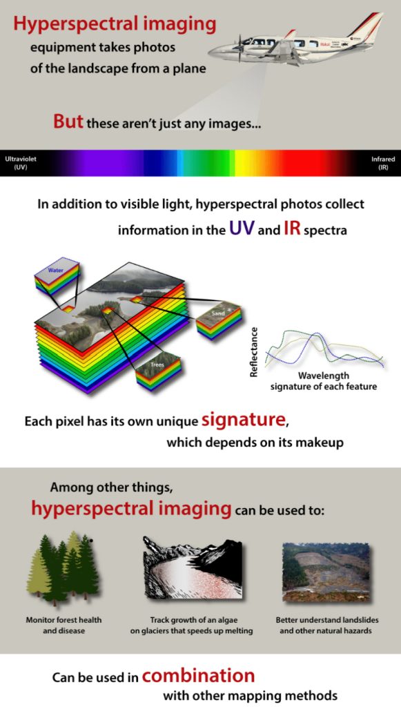
Specim’s AisaFENIX 1K, the full spectrum hyperspectral camera (400-2500nm) is an ideal solution for remote sensing of the environment and other aerial survey applications. The AisaFENIX 1K hyperspectral sensor with 1024 spatial pixels takes the productivity of hyperspectral imaging to an entirely new level. It produces the same top quality full-spectrum hyperspectral data as does its forerunner, AisaFENIX. At the same time, it reduces the flight costs by 60 %, because fewer flight lines are required or collect data with higher accuracy when flying at same height as before.


© 2024 Kîsik Aerial Survey Inc.