Edit Content
Geospatial Solutions for our changing world

Agriculture

Crop Growth
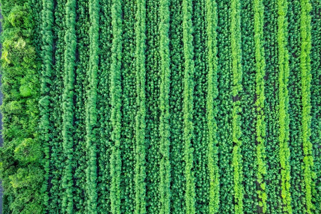
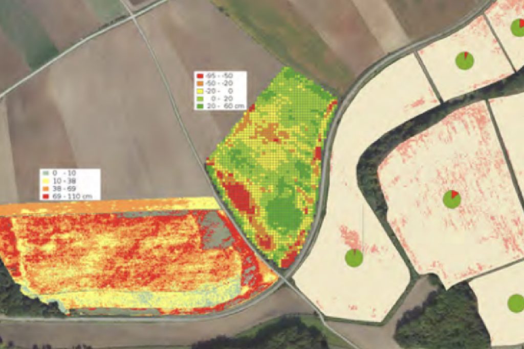
LiDAR data can be used for crop growth and health is closely monitored in Precision Farming in order to minimize the use of fertilizers or irrigation. Airborne laser scanning data enable to observe plant growth – while at the same time displaying changes in ground surface – or to detect areas of irregularities.
Monitoring
Constant monitoring of agricultural areas enables early yield estimation based upon differences in plant growth development.
Observation of Irregularities in Plant Growth

Airborne hyperspectral imaging can help researchers and farmers monitor and analyze plant growth patterns over large areas, which can be difficult to achieve using traditional ground-based methods. By detecting small changes in plant growth patterns, airborne hyperspectral imaging can help identify problems before they become severe, allowing for timely intervention and treatment. With the ability to quickly and accurately identify problem areas, this technology can help farmers and researchers make more informed decisions, leading to increased crop yield, reduced resource usage, and improved overall agricultural sustainability.

Yield Estimation
Airborne hyperspectral imaging is a valuable tool for yield estimation in agriculture. By providing accurate and detailed information on plant health and growth patterns, this technology can help farmers and researchers make more informed decisions, leading to increased crop yield, reduced waste, and improved overall agricultural sustainability.
Airborne Hyperspectral imaging for Agriculture applications
Hyperspectral imaging can be used for a variety of different applications in agriculture including crop mapping, yield estimation, irrigation scheduling, soil characterization, and pest detection. Farmers can use hyperspectral images to map their crops so that they know exactly where each type of crop is growing. This information can then be used to estimate yields using crop models that take into account factors like plant density and leaf area index.
Our hyperspectral data being used for a variety task such as:
  • Crop mapping yield estimation,
  • Irrigation scheduling,
  • Soil characterization,
  • and Pest detection
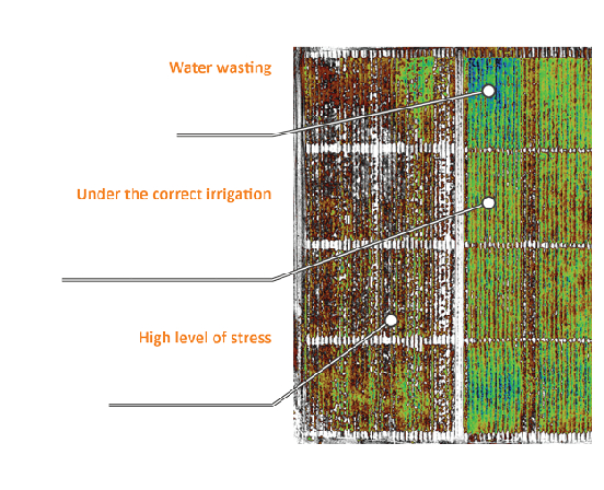
Crop Water Stress Index