Edit Content

Geospatial Solutions for our changing world
- 4340 King St. - Unit #3
- 1-604-821-9915
- [email protected]
- 1-888-749-7746


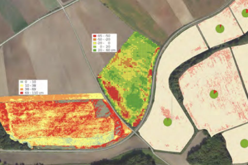
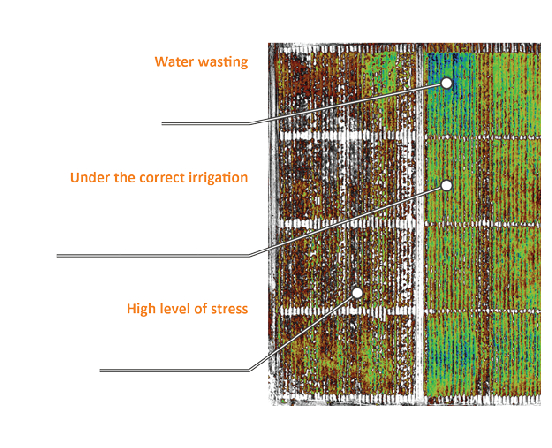
Airborne hyperspectral imaging can help researchers and farmers monitor and analyze plant growth patterns over large areas, which can be difficult to achieve using traditional ground-based methods. By detecting small changes in plant growth patterns, airborne hyperspectral imaging can help identify problems before they become severe, allowing for timely intervention and treatment. With the ability to quickly and accurately identify problem areas, this technology can help farmers and researchers make more informed decisions, leading to increased crop yield, reduced resource usage, and improved overall agricultural sustainability.


© 2024 Kîsik Aerial Survey Inc.