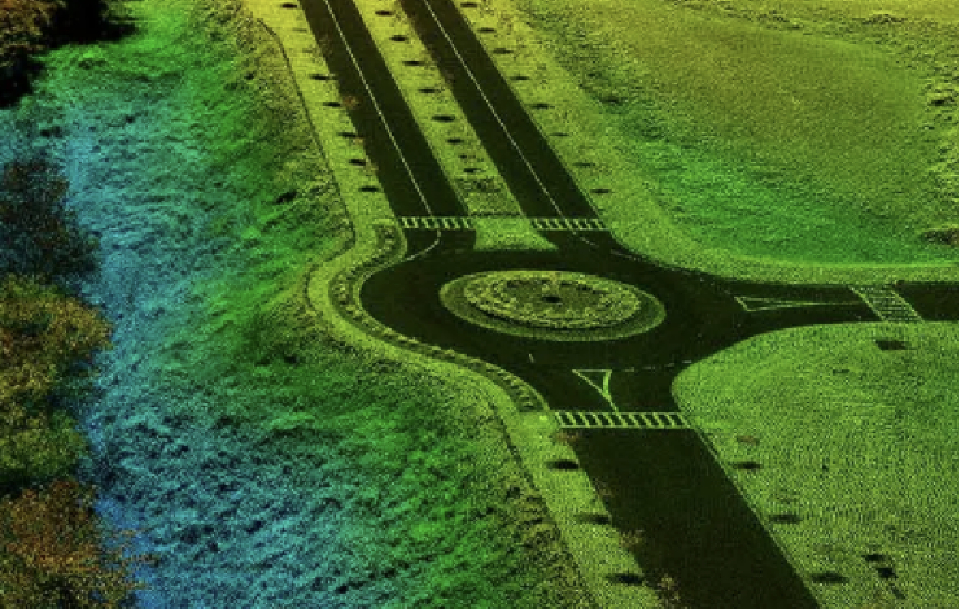
Planners, environmental scientists and engineers depend on our data and expertise to make decisions for corridor studies, route realignments, and road and bridge improvements. Solutions range from the provision of multispectral, hyperspectral and lidar datasets, to traditional aerial photography, mapping and orthophotography.